Perth & District Historical Society
  You are here: Home > Local History > The 1816 Routes to Perth > 1880 Map of North Elmsley Township

1880 MAP OF NORTH ELMSLEY TOWNSHIP


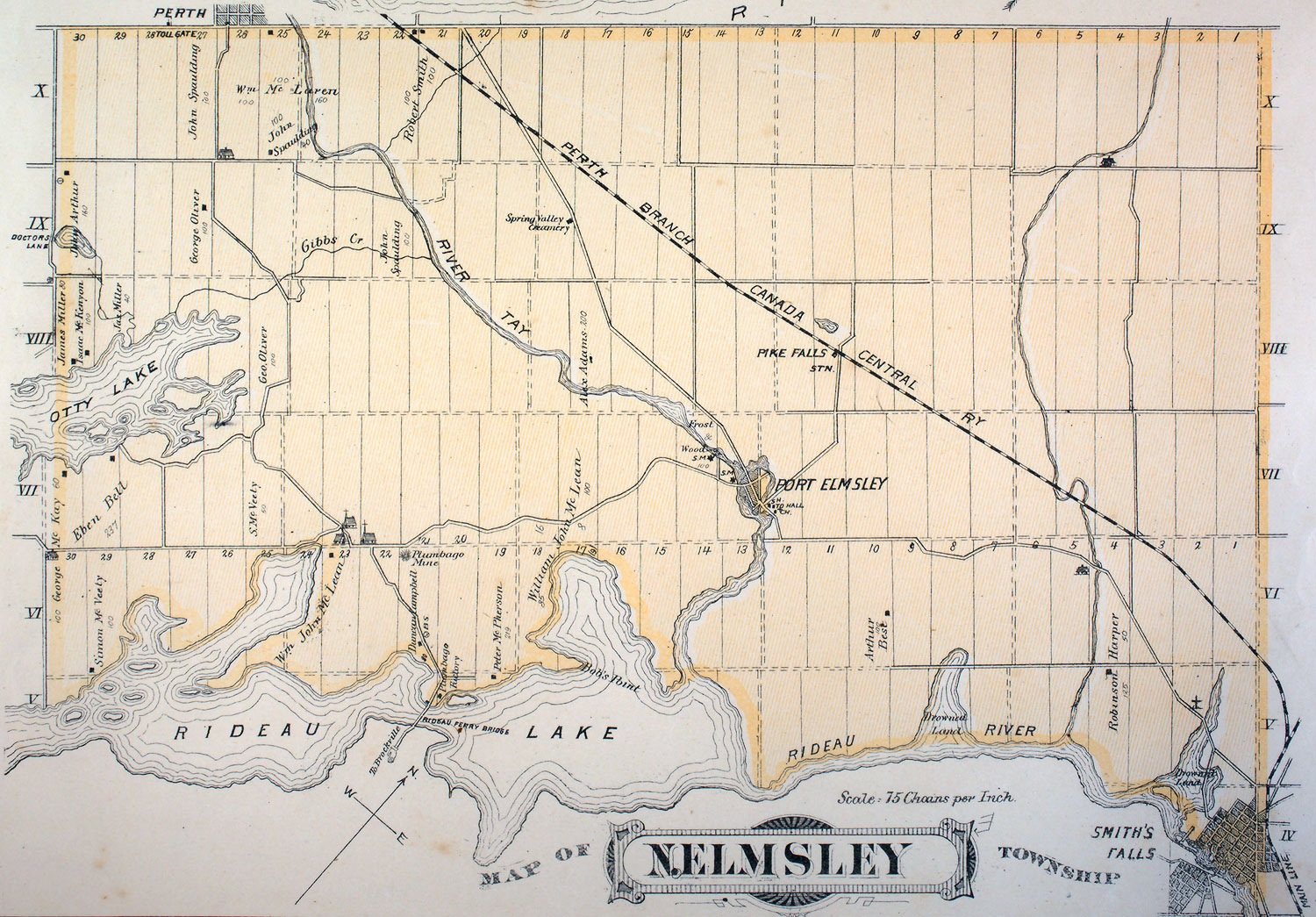
Walling, Henry F., Lanark Supplement in "Illustrated atlas of the Dominion of Canada.", Toronto : H. Belden & Co., 1880. Digital maps from McGill University County Atlas Project: digital.library.mcgill.ca/countyatlas/


The first clear and presumed accurate map of North Elmsley, including the Rideau Ferry to Perth Road. Note that Jebbs Creek is called Gibbs Creek on this map.
   
  Top  


Home | About Us | Events | Latest News | Local History | 200th Anniversary | Photos | Tours | Links | Contact Us

© Perth & District Historical Society

Website design & maintenance donated by: Ken Watson